Spain and Portugal have long histories of navigation, discovery and cartography or the art of map making.
There are many rich stories in history about the worlds geography and mapping expeditions on the seas which led to many efforts at stealing the maps of nations from one another.
In the beginning, of course, the maps were simple and almost useless. Over time they improved and made sailing around the globe a great deal safer and easier.
Over time the world’s winds and ocean currents were better understood and even this information was included on some maps.
With the invention of the pendulum clock in 1656 by Christiaan Huygens and the Longitude Prize won by the inventor John Harrison in 1766 which solved the longitude problem, navigation became much more accurate.
I am a small time collector of antique maps. They are interesting for many reasons. They are often not very accurate and look very different from modern maps.
They are usually sold in book stores and book events all over the world. I have a few very beautiful, hand painted and hand printed maps. They are great decorative and historical pieces that always start fun conversations about travel and discovery.
I am hopping to find out a lot more about map making and the intrigue surrounding them as I travel to Spain and Portugal in a few days.
You can look up antique maps on Google and learn a lot in a very short time. There are even “Ribbon” maps.
Did Columbus have maps to the Americas?
The Chinese came to the west coast of North America long Before Columbus was born, as did the Vikings on the east coast of North America.
As usual, the west thinks it has discovered something long after the east has moved on to more interesting matters.
Don’t forget that my book of nine short stories called “Sunrise, Sunset” will soon be an Audio book.
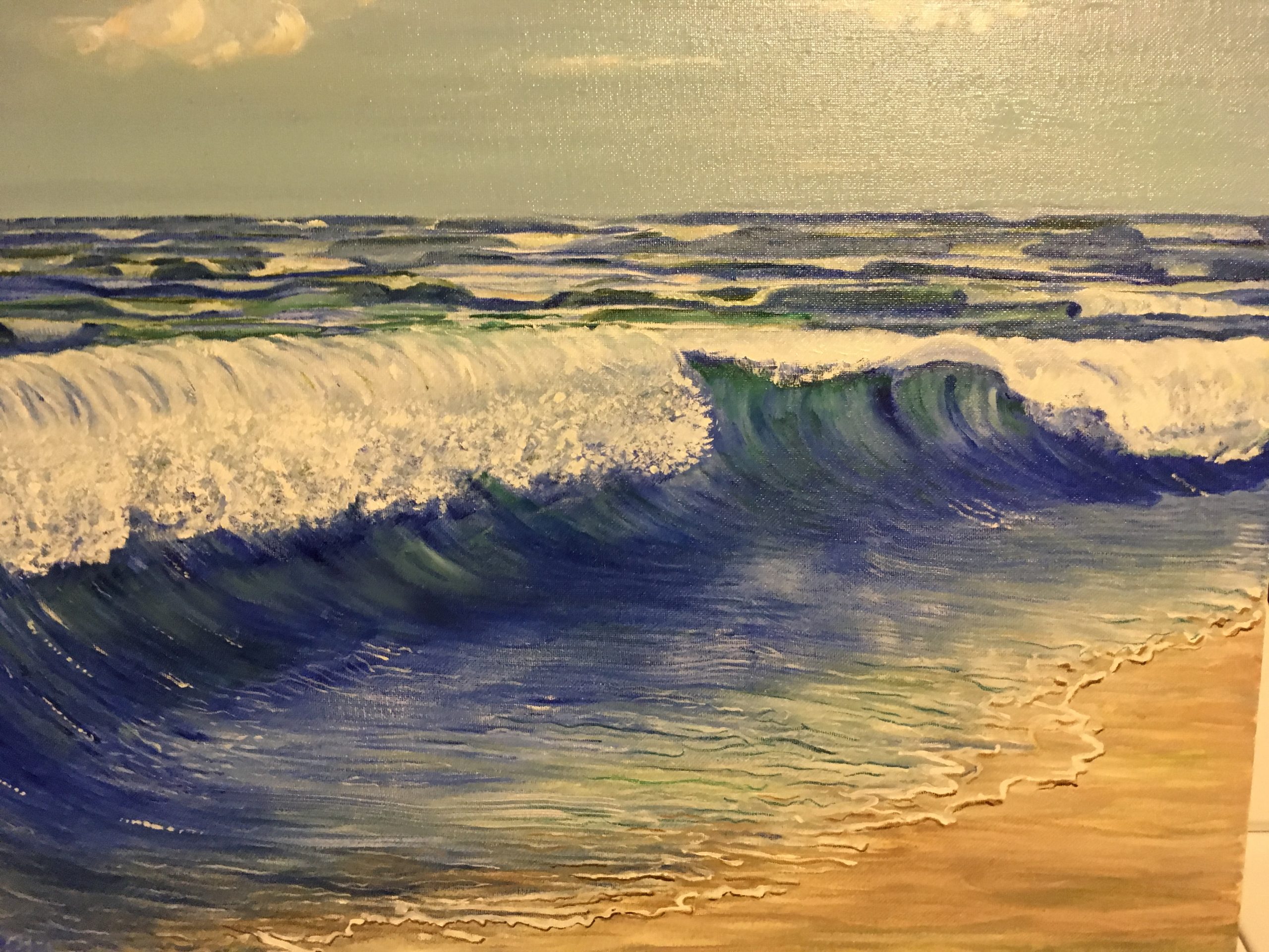
The sea can be an unforgiving foe.